teo@portfolio

Theodoros Mangas

Licensed surveyor turned Python/Django engineer — I build the tooling for the industry I came from.

Geospatial pipelines, validation-heavy workflows, and web apps that hold up in the field.

bash ~/teo/portfolio
Available commands:
teo@dev:~$ try typing a command or click the chips above...
teo@dev:~$
about-me/

Python Django REST APIs PostgreSQL JavaScript HTML/CSS Git Docker System Design GIS

I spent a decade as a licensed surveying and geoinformatics engineer before moving into software. That path is the point: I write software for workflows I used to do by hand, so I know where the data goes wrong and what the field actually needs.

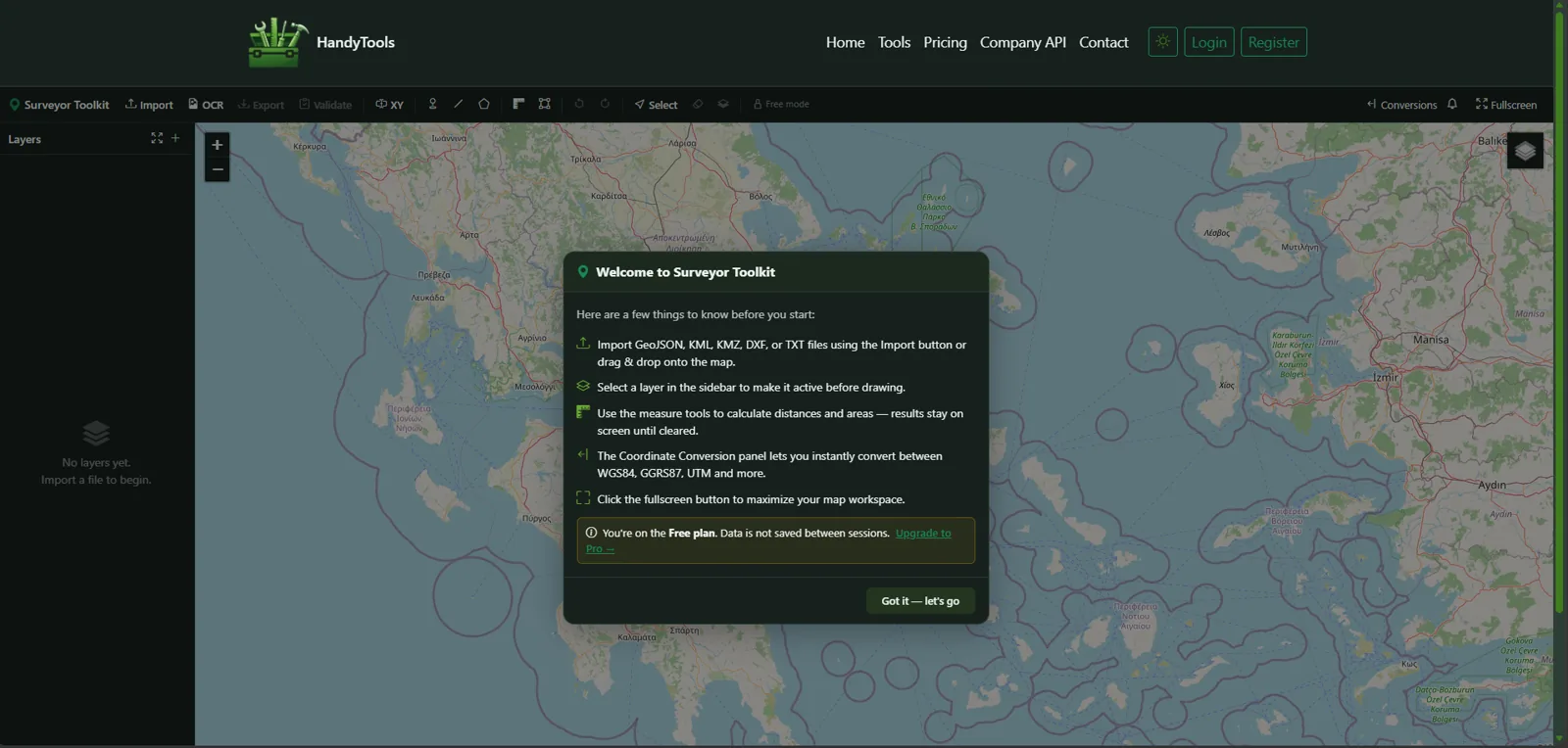
Backend Python/Django is my core — API design, data modeling, and application structure. Most of my work involves geospatial pipelines (DXF/KML/KMZ/TXT/JSON), where bad input is the norm and predictable output is the whole job, so I design validation first and fail loudly rather than silently.

I care most about systems that stay maintainable after launch: reusable patterns over one-off code, and interfaces that make user error hard.

projects/
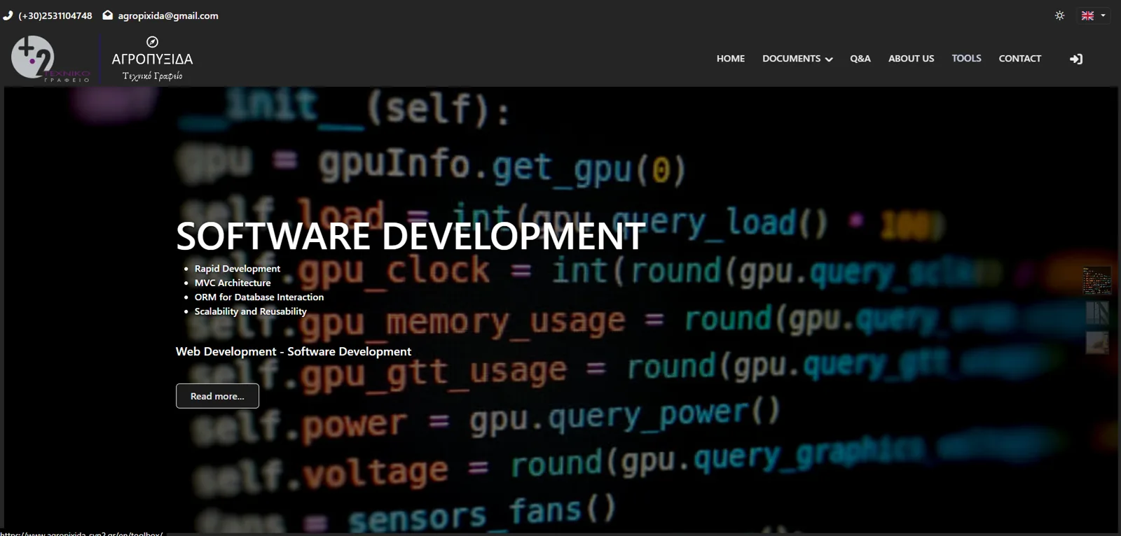
Engineering Services - Technical Office
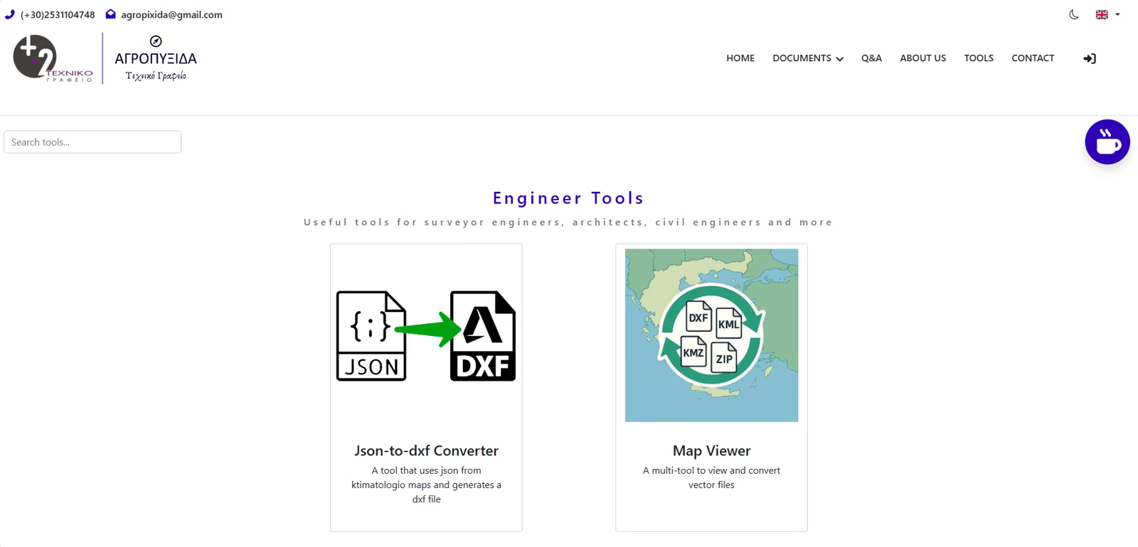
Local business platform with engineering services + GIS toolbox
Live Site
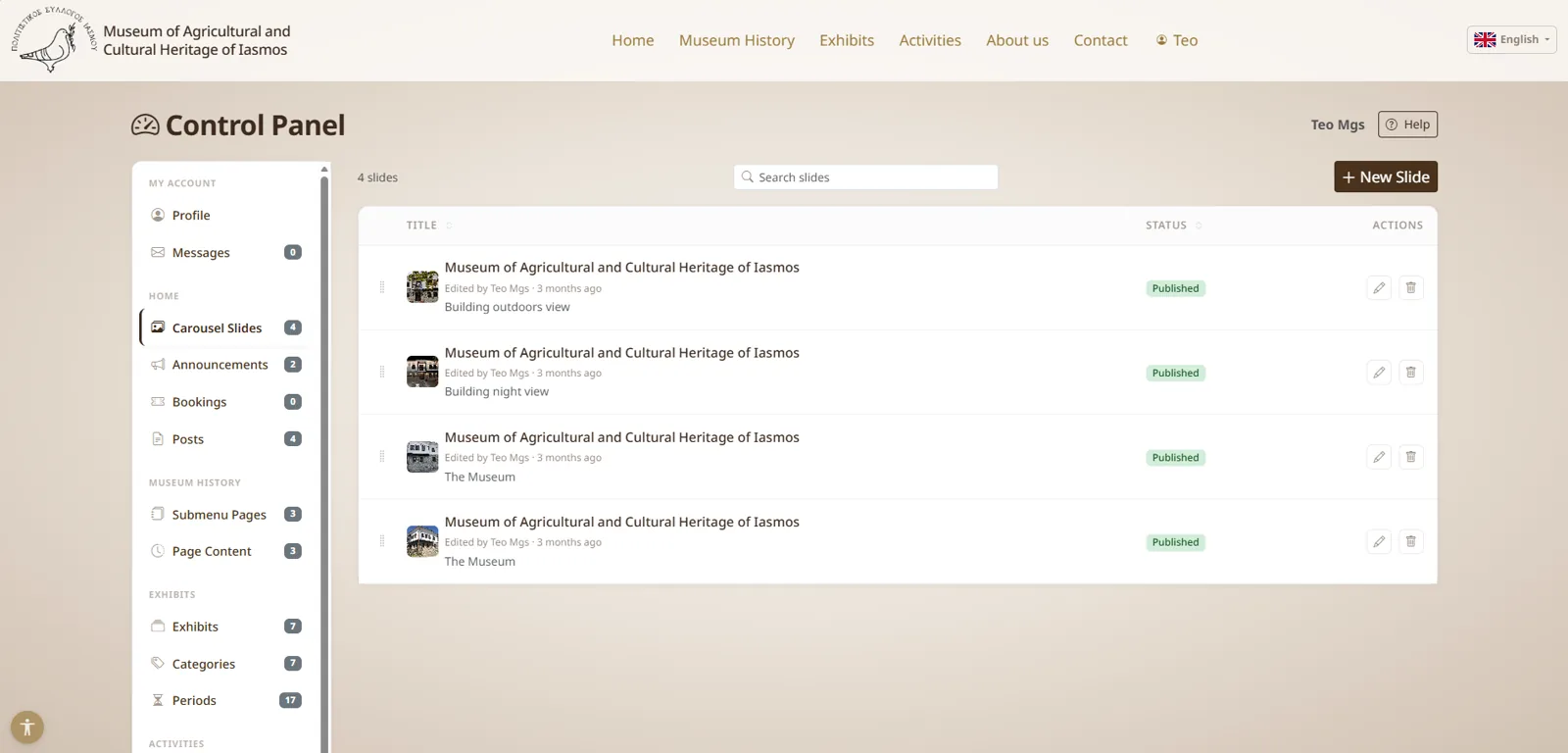
Full-stack Django platform built for a real-world technical office, combining dynamic service pages, project showcases, multilingual content (Greek/English), team profiles, and secure customer management.
Python Django MySQL Bootstrap AJAX GIS modeltranslation
Key Features: Multilingual CMS, integrated GIS tools, QR code generation, secure client portals.
Status: Live and in daily use by a working technical office, with a public toolbox of 10+ engineering utilities.
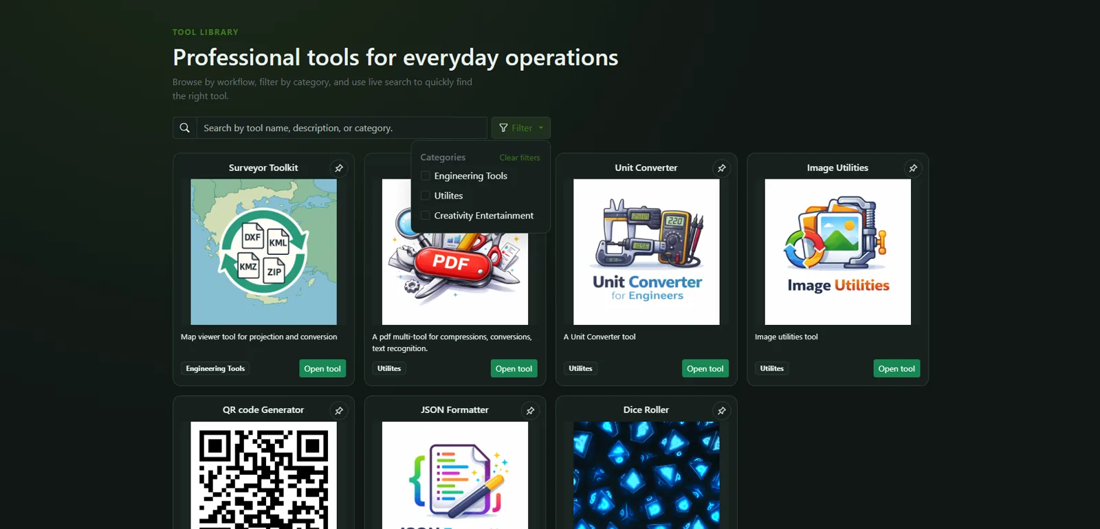
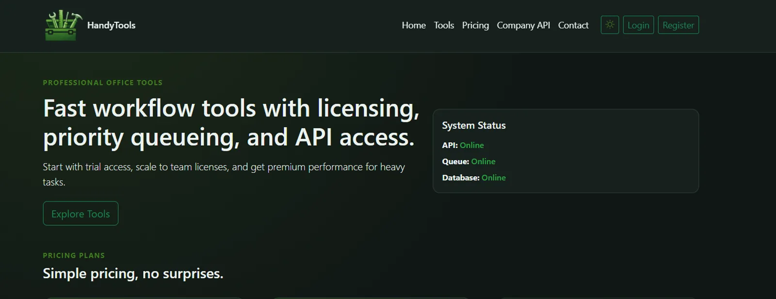
HandyTools
Modular toolbox SaaS platform (active build)
private
Modular platform architecture with reusable components, shared UI components, and standardized patterns for converters, utilities, and geospatial helpers.
Python Django PostgreSQL PostGIS GeoDjango Django REST Framework Redis Celery JavaScript Leaflet Bootstrap Docker Nginx Gunicorn
Key Features: Modular architecture, validation-first workflows, consistent UX patterns.
Architecture: A shared component layer with standardized patterns, so each new tool reuses the existing converters, validation, and UI instead of rebuilding them. Currently supports 5+ engineering utilities.
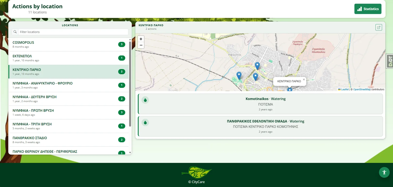
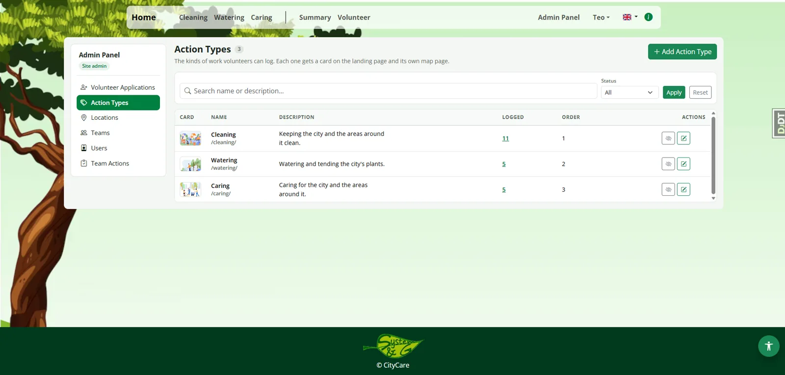
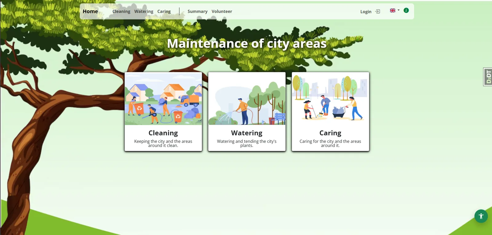
CityCare
Volunteer operations & live city map platform (deployment-ready)
private
A web application that allows volunteer teams to record and manage real-world actions directly on a live city map (incidents, maintenance, field tasks, observations). It provides role-based workflows, location-linked records, and a clear operational overview so multiple users can coordinate activity in the same geographic space without confusion.
Python Django Leaflet PostgreSQL PostGIS Bootstrap
Key Features: Real-time map interactions, role-based access, audit trails, mobile-responsive design.
Status: Built and deployment-ready; not yet running with live users. Designed so multiple volunteer teams can work the same map without duplicating or overwriting each other's records.
skills/
Backend & APIs
Python Django REST APIs PostgreSQL MySQL
GIS & Data Processing
Leaflet PostGIS GeoJSON DXF/KML/KMZ QGIS
Frontend & Tools
Bootstrap JavaScript HTML5 CSS3 AJAX
Methodologies & Soft Skills
Agile/Scrum Validation-First Design Problem Solving Team Collaboration
public-repos/
Live tools you can use right now
Running in production — open them and try them with your own data.
GitHub profile

Each one takes messy real-world input, validates it hard, and returns a predictable file — that validation-first approach is the common thread across everything here.

A note on source: these are client and business codebases, so the repositories are private rather than public. I'm happy to walk through the code, architecture decisions, or a specific module on a call.

experience/
Software Engineer (Python/Django)
2021 - Present

Build full-stack web applications in Python/Django, taking projects from concept to deployment. Most of the work sits where software meets surveying: geospatial integrations, file-conversion pipelines, and internal tools for technical offices — the problems I used to hit from the other side.

Python Django REST APIs MySQL PostgreSQL JavaScript HTML/CSS Git Docker System Design GIS
Licensed Surveyor & Geoinformatics Engineer
2013 - 2021

Ran field surveys and data collection, then moved into geospatial processing: vector formats, coordinate systems, and quality control on spatial deliverables. Repeatedly hit the same gap — the tooling for this work was manual, brittle, or didn't exist — which is what pushed me into software. That domain knowledge still drives what I build.

Surveying QGIS DXF/KML Coordinate Systems Quality Control
contact/

Let's connect! I’m always open to discussing new opportunities, collaborations, or challenging projects across Python development, backend systems, and modern web applications.